
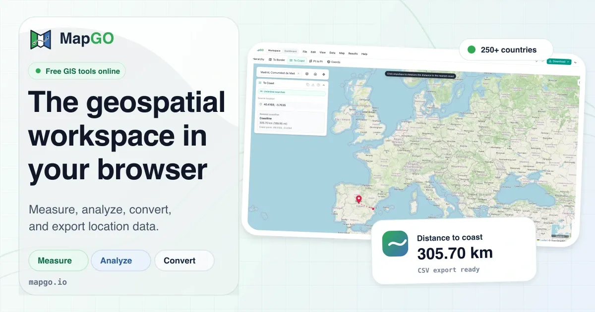
MapGO positions itself as a geospatial workspace that runs entirely in a web browser, removing the traditional barriers of desktop GIS software. The platform combines distance-to-border and distance-to-coastline calculations, administrative hierarchy lookups, coordinate conversions, and file format transformations into a single interface. Aimed at professionals who need quick geospatial answers without heavy software, MapGO offers a free tier and a paid API for deeper integration. The platform's approach emphasizes accessibility and speed, making it a practical tool for logistics, environmental analysis, and field operations.
This review examines the core features, workflow, and practical applications of MapGO, providing an honest assessment of its value for different user groups. With coverage across 250+ countries and a dataset built on high-resolution shapefiles, the platform claims to deliver accurate geospatial data at scale. No credit card is required for the free tier, which allows users to test core functions before committing to a paid plan.
This review examines the core features, workflow, and practical applications of MapGO, providing an honest assessment of its value for different user groups. With coverage across 250+ countries and a dataset built on high-resolution shapefiles, the platform claims to deliver accurate geospatial data at scale. No credit card is required for the free tier, which allows users to test core functions before committing to a paid plan.